

Coastal Hazards Adaptation Strategy
Thank you for your interest. Consultation has concluded.
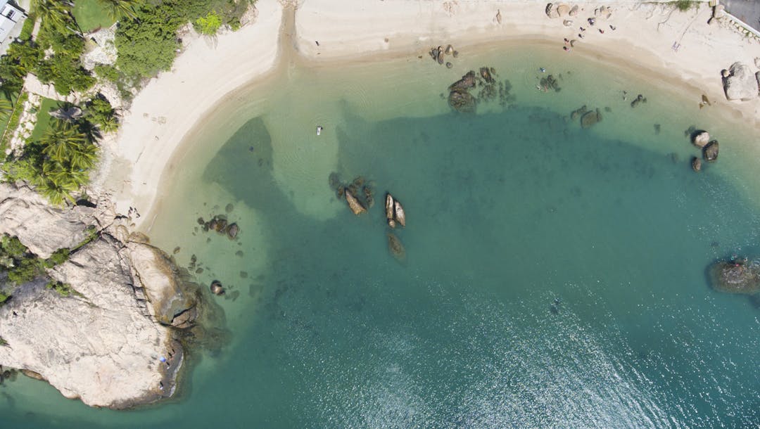
We have developed a draft Coastal Hazard Adaptation Strategy (CHAS), which outlines our plan for predicted future sea level rise in our coastal communities. With over 500km of coastline, the Whitsunday region and its residents are vulnerable to the long-term impacts of climate change.
The CHAS studies have found that by 2100 almost 590 residential dwellings in the region will be impacted by an increase of 80cm in sea level over the next 80 years. The sea level rise will also impact roads and underground water and sewage infrastructure.
The CHAS outlines a range of adaptation options to address these risks in each coastal community and how these options could be funded.
34 scientific studies were completed over the past five years, including the development of up-to-date mapping which shows predicted levels of sea inundation and storm surge, available on Council’s online portal here.
The CHAS is partly funded by the Local Government Association of Queensland’s QCoast 2100 Program, along with 31 other coastal councils across Queensland.
The CHAS was adopted at the Council Meeting on 28 July 2021 and the final version is available to view on our website:
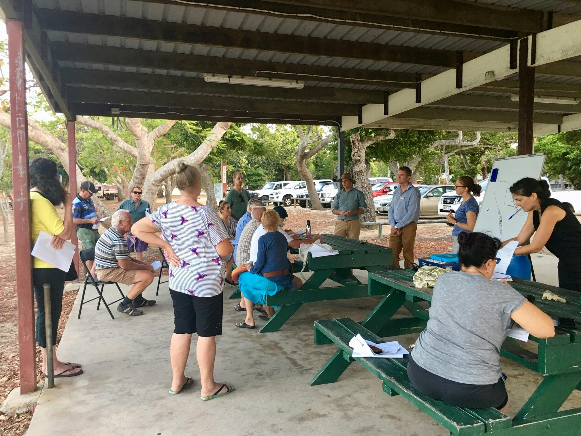
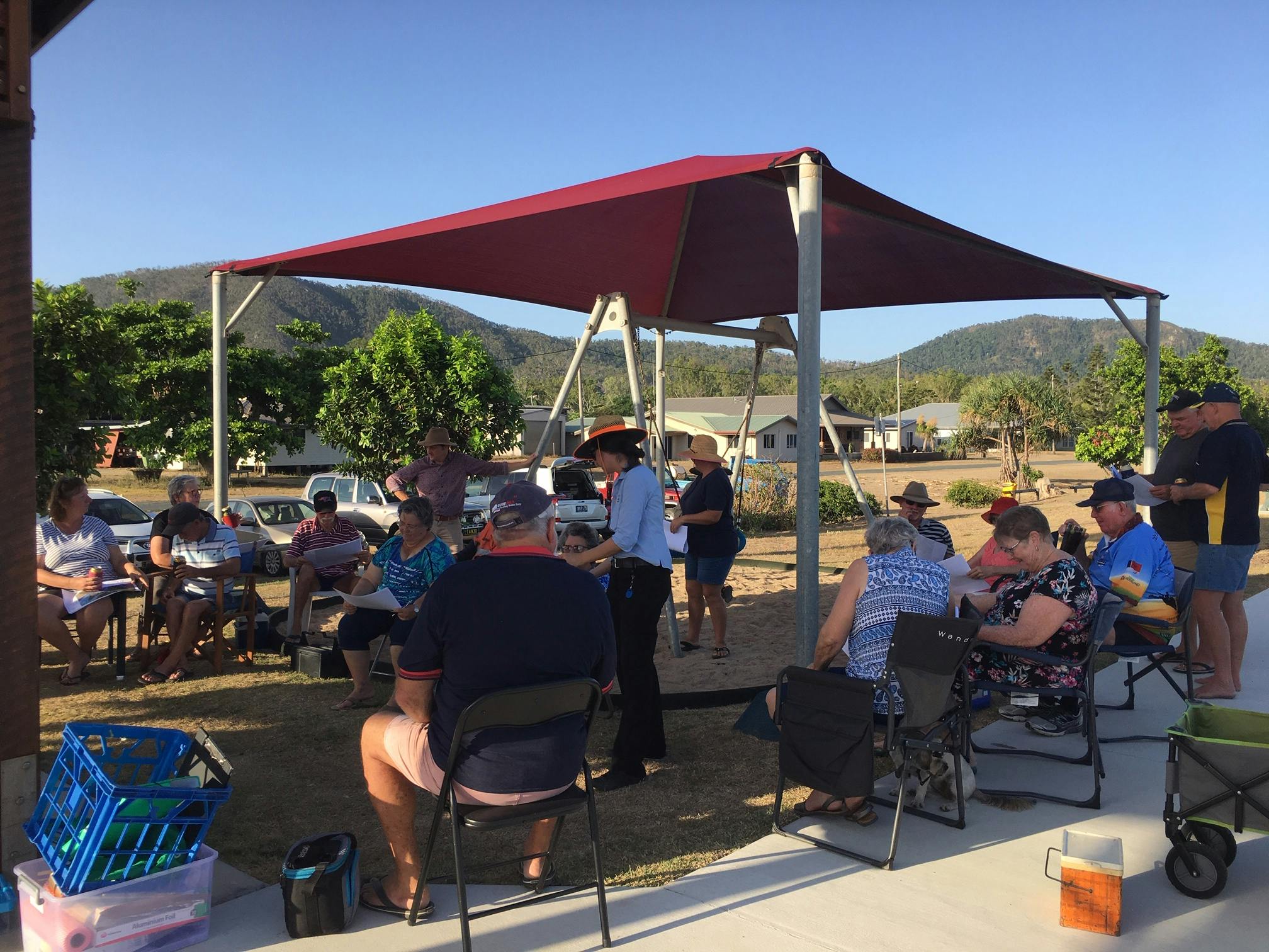
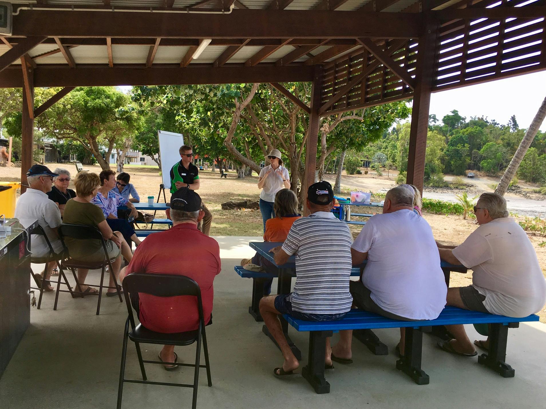
We recently consulted on the draft Coastal Hazard Adaptation Strategy and asked for your feedback. Below is a summary of this feedback, which you can view or download here

-
Submission by Felicity Chapman - Cyclone Ului
Share Submission by Felicity Chapman - Cyclone Ului on Facebook Share Submission by Felicity Chapman - Cyclone Ului on Twitter Share Submission by Felicity Chapman - Cyclone Ului on Linkedin Email Submission by Felicity Chapman - Cyclone Ului link


Tropical Cyclone Ului 2010 - Living in Jubilee Pocket we only lost vegetation. It was a different story near the water with the amount of boats washed up onto the shore.
-
Submission by Jan Clifford - Cyclone Debbie
Share Submission by Jan Clifford - Cyclone Debbie on Facebook Share Submission by Jan Clifford - Cyclone Debbie on Twitter Share Submission by Jan Clifford - Cyclone Debbie on Linkedin Email Submission by Jan Clifford - Cyclone Debbie link
Nemo survives Debbie!

Shute Harbour Motel after Cyclone Debbie.
-
Submission by Owen Fuller - Cyclone Ada
Share Submission by Owen Fuller - Cyclone Ada on Facebook Share Submission by Owen Fuller - Cyclone Ada on Twitter Share Submission by Owen Fuller - Cyclone Ada on Linkedin Email Submission by Owen Fuller - Cyclone Ada link

The photos attached are taken from footage taken by my brother Colin Fuller on 8mm film of Cyclone Ada. There are three videos that can be viewed online on youtube. At the time I was living in Proserpine, which experienced damaged homes, many with roofs taken down, and many power poles damaged or felled. News reporting at the time recorded Cyclone Ada as a Category 3 cyclone, however my thoughts are that it was at least a Category 4, especially given that the weather recording at the time was not as detailed as it is now. Ada came in via Funnel Bay, and the impact on the Cannonvale and Airlie Beach areas was severe, the Airlie Beach pub at the time was totally wrecked with the top section blown off into Muddy Bay (where the marina is now). Lots of boats were sunken and all the leaves stripped bare from trees around Airlie and Cannonvale. In comparison to Debbie my observations are that Ada was much more contained and moved a lot faster, where as Debbie covered a larger area and moved very slow.
-
Council receives Highly Commended at the 2017 Australian Coastal Awards!
Share Council receives Highly Commended at the 2017 Australian Coastal Awards! on Facebook Share Council receives Highly Commended at the 2017 Australian Coastal Awards! on Twitter Share Council receives Highly Commended at the 2017 Australian Coastal Awards! on Linkedin Email Council receives Highly Commended at the 2017 Australian Coastal Awards! link
4 May 2017
Whitsunday Regional Council were recognized for their proactive approach to Climate Change with a Highly Commended award at the 2017 Australian Coastal Awards in Brisbane on 4 May 2017.
On hand to accept the award were Councillors Ron Petterson and Jan Clifford, Director of Community & Environment Julie Wright and Manager Health Environment and Climate Adam Folkers. The quartet all attended the Australian Coastal Councils Conference.
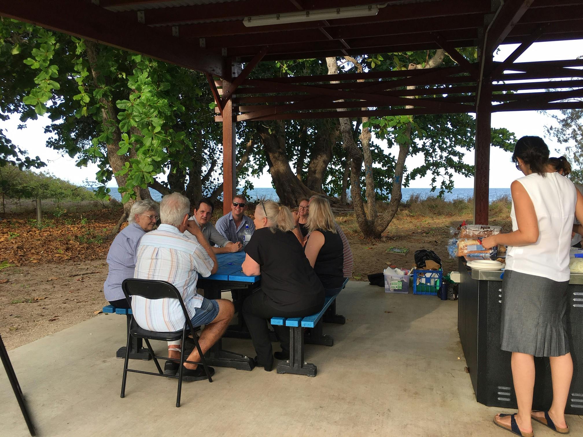
Photos
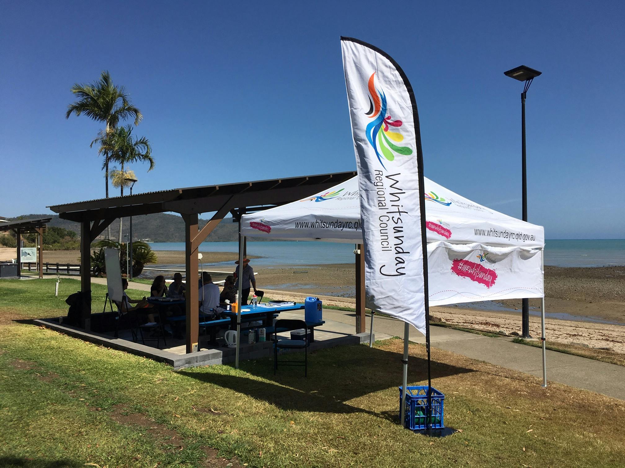
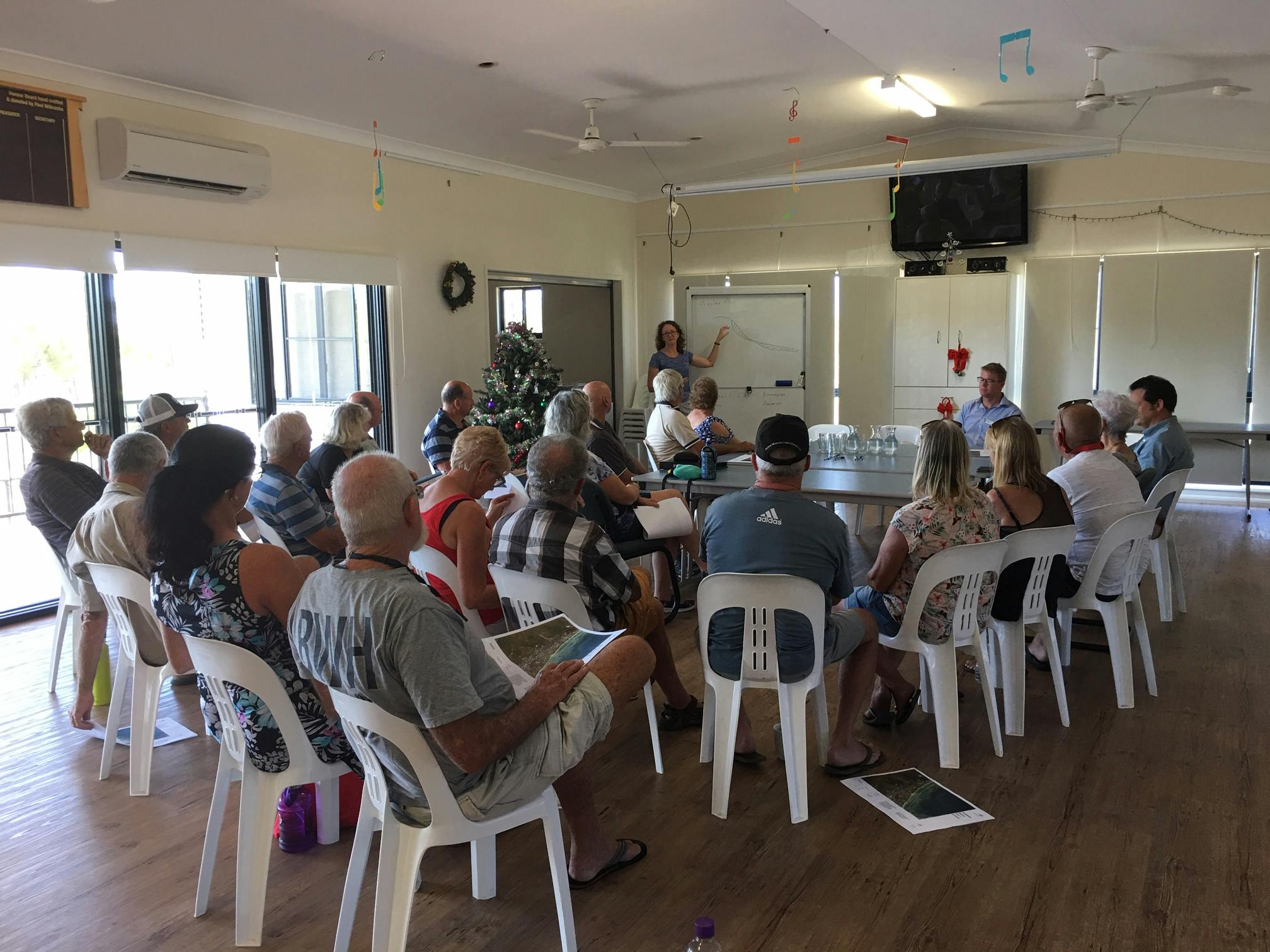
Photos
Document Library
-
 Consultation Summary - CHAS 2021.pdf (1.28 MB) (pdf)
-
 Factsheets for each area
-
CHAS factsheet - Airlie Beach and Cannonvale.pdf (775 KB) (pdf)
-
CHAS factsheet - Bowen CBD.pdf (781 KB) (pdf)
-
CHAS factsheet - Conway Beach.pdf (944 KB) (pdf)
-
CHAS factsheet - Dingo Beach.pdf (887 KB) (pdf)
-
CHAS factsheet - Hydeaway Bay.pdf (851 KB) (pdf)
-
CHAS factsheet - Queens Beach Bowen.pdf (773 KB) (pdf)
-
CHAS factsheet - Rose Bay.pdf (967 KB) (pdf)
-
CHAS factsheet - Wilsons Beach.pdf (792 KB) (pdf)
-
-
Mapping for each area
-
Airlie Beach-Cannonvale - Permanent Inundation 2100.pdf (844 KB) (pdf)
-
Airlie Beach - Permanent Inundation 2100.pdf (763 KB) (pdf)
-
Cannonvale - Permanent Inundation 2100.pdf (937 KB) (pdf)
-
All Bowen - Permanent Inundation 2100.pdf (1.25 MB) (pdf)
-
Bowen CBD - Permanent Inundation 2100 .pdf (864 KB) (pdf)
-
Bowen Queens Beach North - Permanent Inundation 2100.pdf (1.16 MB) (pdf)
-
Bowen Queens Beach South - Permanent Inundation 2100.pdf (1.13 MB) (pdf)
-
Conway Beach - Permanent Inundation 2100.pdf (1.36 MB) (pdf)
-
Dingo Beach - Permanent Inundation 2100.pdf (836 KB) (pdf)
-
Hydeaway Bay - Permanent Inundation 2100.pdf (1.3 MB) (pdf)
-
Wilsons Beach - Permanent Inundation 2100.pdf (1.29 MB) (pdf)
-
Photos
Who's listening
-
Phone 1300 972 753 Email info@whitsundayrc.qld.gov.au