
Coastal Hazards Adaptation Strategy
Thank you for your interest. Consultation has concluded.
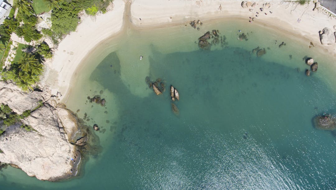
We have developed a draft Coastal Hazard Adaptation Strategy (CHAS), which outlines our plan for predicted future sea level rise in our coastal communities. With over 500km of coastline, the Whitsunday region and its residents are vulnerable to the long-term impacts of climate change.
The CHAS studies have found that by 2100 almost 590 residential dwellings in the region will be impacted by an increase of 80cm in sea level over the next 80 years. The sea level rise will also impact roads and underground water and sewage infrastructure.
The CHAS outlines a range of adaptation options to address these risks in each coastal community and how these options could be funded.
34 scientific studies were completed over the past five years, including the development of up-to-date mapping which shows predicted levels of sea inundation and storm surge, available on Council’s online portal here.
The CHAS is partly funded by the Local Government Association of Queensland’s QCoast 2100 Program, along with 31 other coastal councils across Queensland.
The CHAS was adopted at the Council Meeting on 28 July 2021 and the final version is available to view on our website:
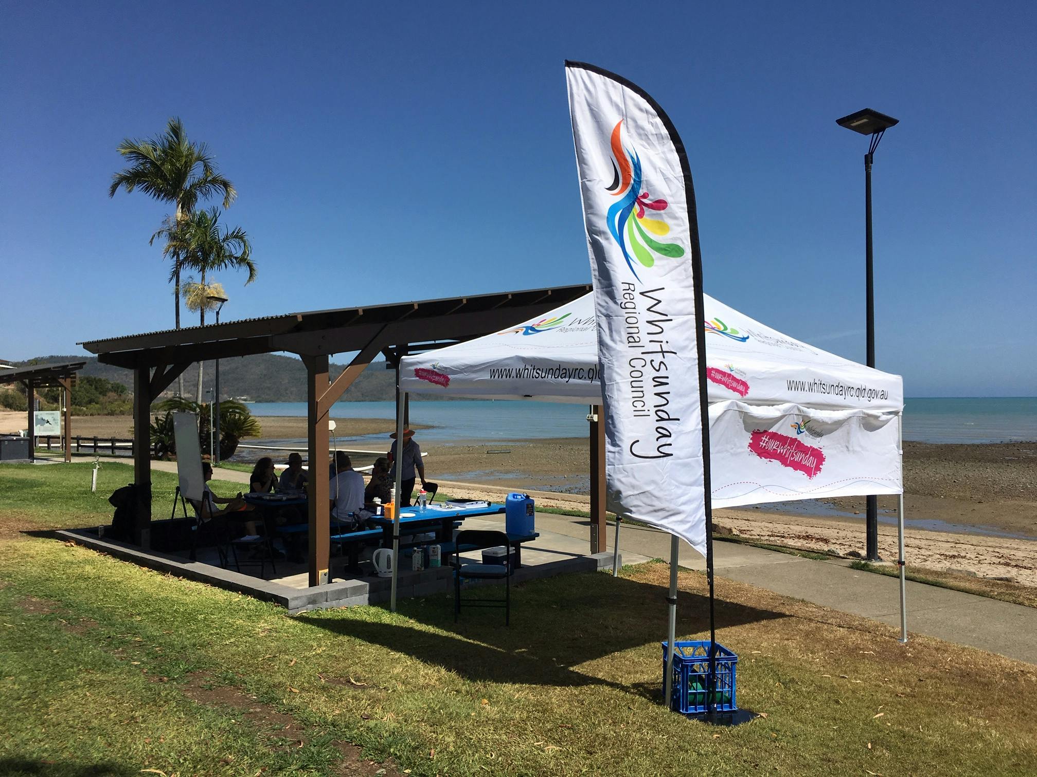
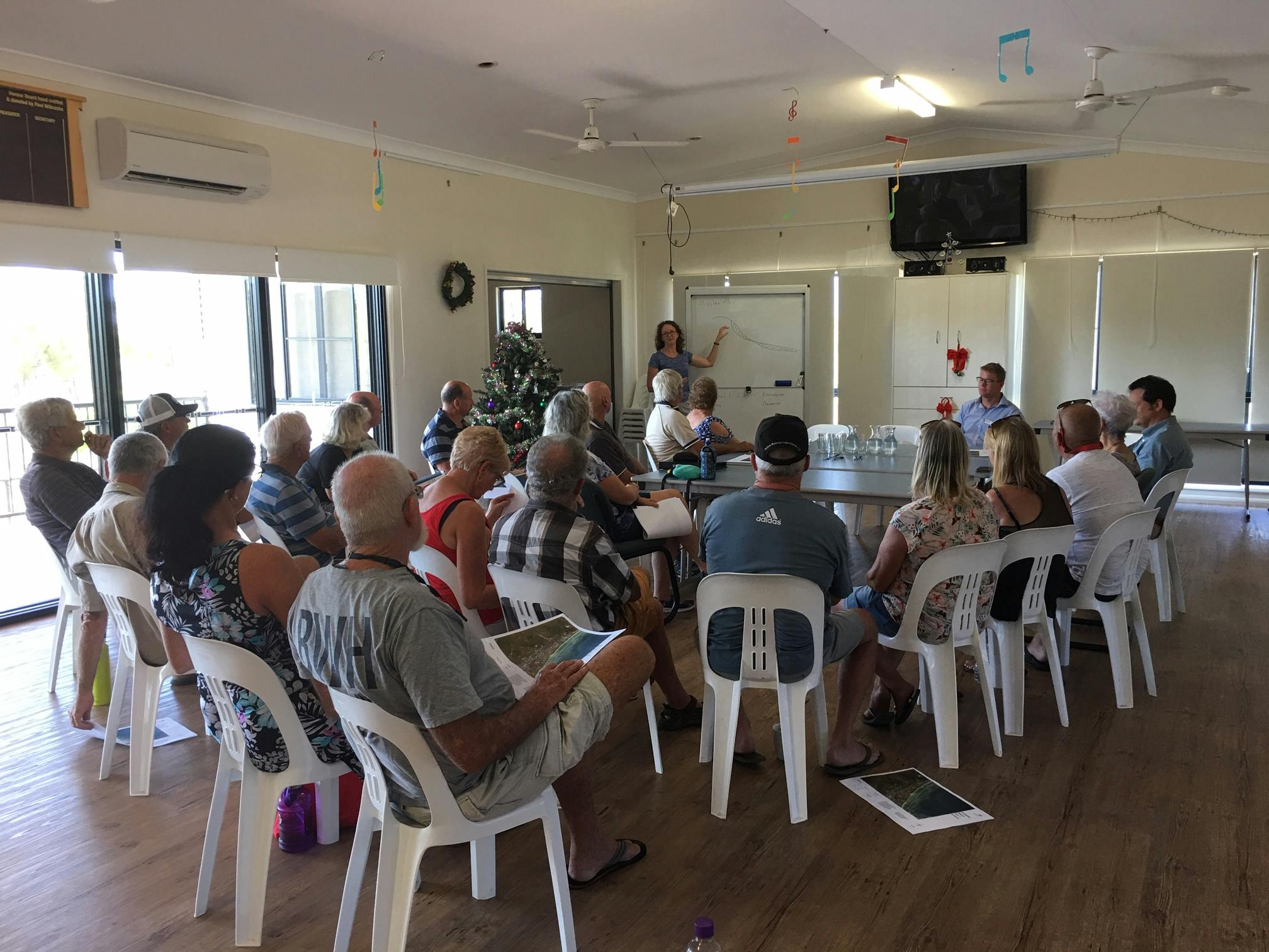
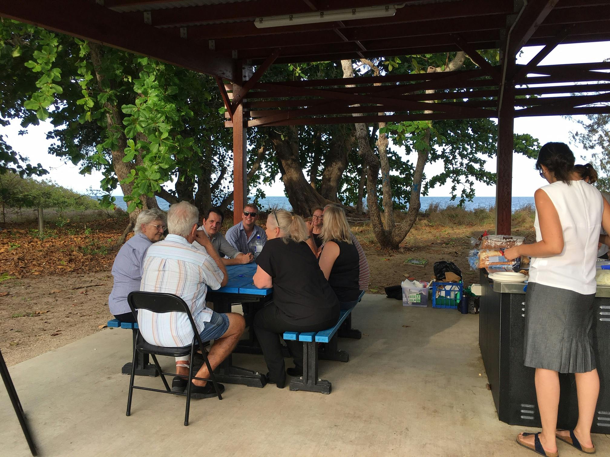
We recently consulted on the draft Coastal Hazard Adaptation Strategy and asked for your feedback. Below is a summary of this feedback, which you can view or download here

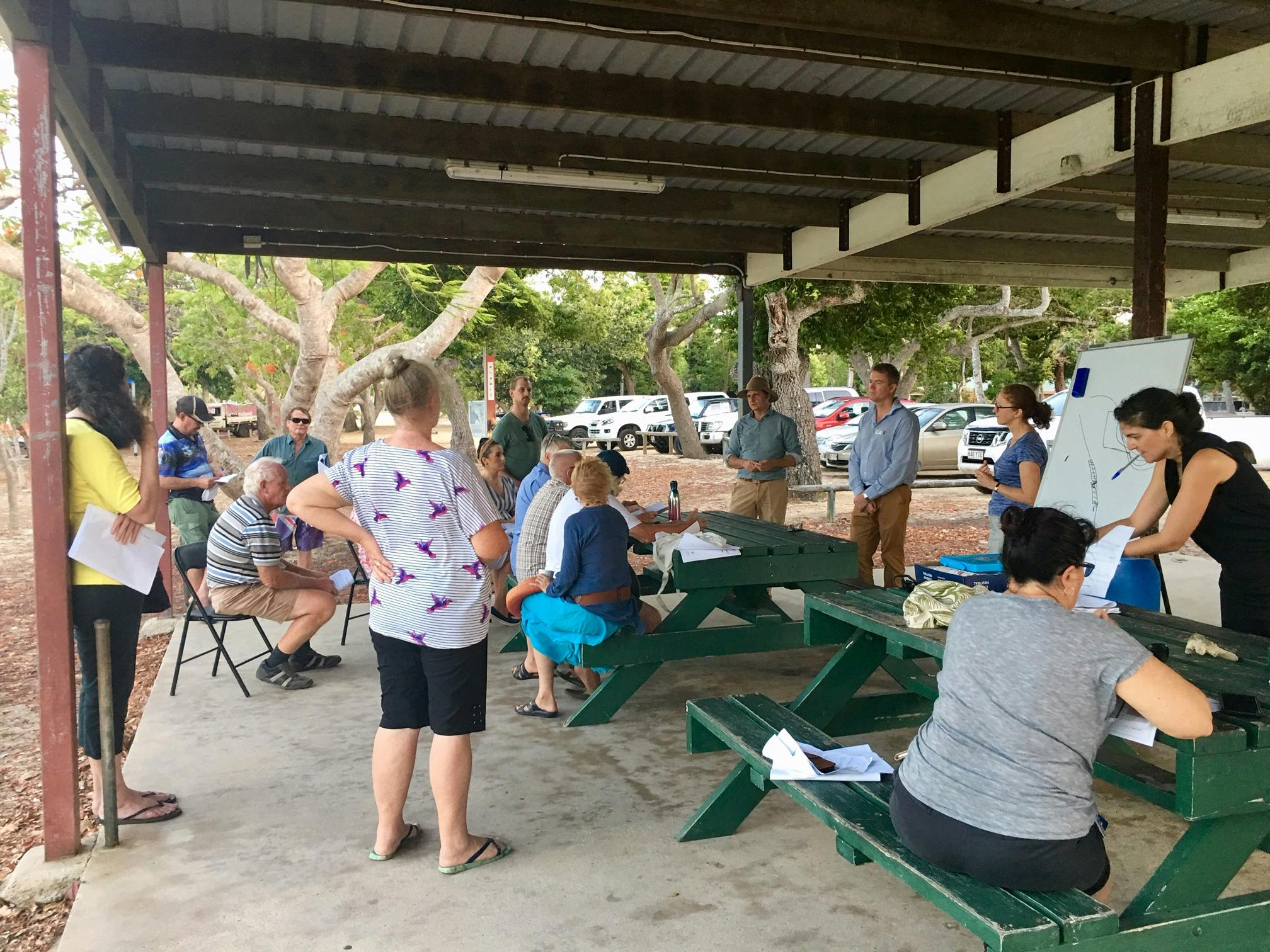
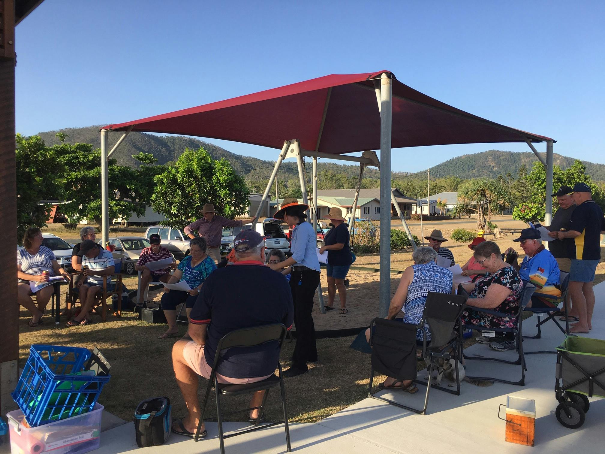
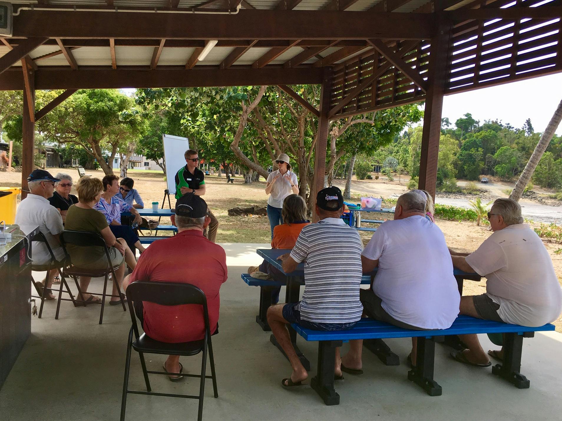
Photos
Photos
Document Library
-
 Consultation Summary - CHAS 2021.pdf (1.28 MB) (pdf)
-
 Factsheets for each area
-
CHAS factsheet - Airlie Beach and Cannonvale.pdf (775 KB) (pdf)
-
CHAS factsheet - Bowen CBD.pdf (781 KB) (pdf)
-
CHAS factsheet - Conway Beach.pdf (944 KB) (pdf)
-
CHAS factsheet - Dingo Beach.pdf (887 KB) (pdf)
-
CHAS factsheet - Hydeaway Bay.pdf (851 KB) (pdf)
-
CHAS factsheet - Queens Beach Bowen.pdf (773 KB) (pdf)
-
CHAS factsheet - Rose Bay.pdf (967 KB) (pdf)
-
CHAS factsheet - Wilsons Beach.pdf (792 KB) (pdf)
-
-
Mapping for each area
-
Airlie Beach-Cannonvale - Permanent Inundation 2100.pdf (844 KB) (pdf)
-
Airlie Beach - Permanent Inundation 2100.pdf (763 KB) (pdf)
-
Cannonvale - Permanent Inundation 2100.pdf (937 KB) (pdf)
-
All Bowen - Permanent Inundation 2100.pdf (1.25 MB) (pdf)
-
Bowen CBD - Permanent Inundation 2100 .pdf (864 KB) (pdf)
-
Bowen Queens Beach North - Permanent Inundation 2100.pdf (1.16 MB) (pdf)
-
Bowen Queens Beach South - Permanent Inundation 2100.pdf (1.13 MB) (pdf)
-
Conway Beach - Permanent Inundation 2100.pdf (1.36 MB) (pdf)
-
Dingo Beach - Permanent Inundation 2100.pdf (836 KB) (pdf)
-
Hydeaway Bay - Permanent Inundation 2100.pdf (1.3 MB) (pdf)
-
Wilsons Beach - Permanent Inundation 2100.pdf (1.29 MB) (pdf)
-
Photos
Who's listening
-
Phone 1300 972 753 Email info@whitsundayrc.qld.gov.au