Share Help Shape Proserpine’s Walking Network on FacebookShare Help Shape Proserpine’s Walking Network on X (formerly Twitter)Share Help Shape Proserpine’s Walking Network on LinkedinEmail Help Shape Proserpine’s Walking Network link
Consultation has concluded. Thank you for your feedback.
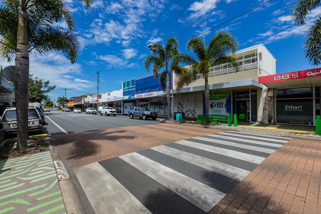
Whitsunday Regional Council is preparing a Proserpine Walking Network Plan to guide future walking paths, crossings and supporting infrastructure across the town.
The plan will identify key walking routes, gaps and priorities to support people of all ages and abilities. It will help Council prioritise walking projects as funding and delivery opportunities arise. View our Proserpine Walking Network Map here.
Council hosted a targeted workshop with local community groups to assist in assessing our network and are now seeking further information from residents via the map survey below. Key insights from the workshop included:
Top themes focused upon accessibility, comfort and safety
Ideas to improve walking in Proserpine such as:
Supporting facilities such as shade, lighting, bins and benches on primary routes
Footpaths and crossings linking into key destinations: schools, employment, sporting facilities and community centres
Footpaths linking into senior living and aged care
Pedestrian crossing facilities on roundabouts at Main Street
Improved links into new Renwick Road path to build on improved network
Footpaths at rail crossings
Improved visibility of existing zebra crossings
Help us build upon the above and share your insights on key routes, constraints and missing links within Proserpine.
Please add location pins to highlight missing links, issues, safety concerns or other ideas to the map survey below, or if prefer a traditional survey, select the survey tool below.
Help Shape Proserpine’s Walking Network has finished this stage
This consultation is open for contributions.
Under Review
Help Shape Proserpine’s Walking Network is currently at this stage
Contributions to this consultation are closed for evaluation and review. The project team will report back on key outcomes.
Final report
this is an upcoming stage for Help Shape Proserpine’s Walking Network
The final outcomes of the consultation are documented here. This may include a summary of all contributions collected as well as recommendations for future action.